Bongaree, Bribie Island, Qld
According to locals, Australia is an island to the west of Bribie Island.
Deception Bay to the south of the island was named by James Cook. The suburb Bongaree was named after an Aboriginal man who was the first Australian to circumnavigate Australia with Matthew Flinders.
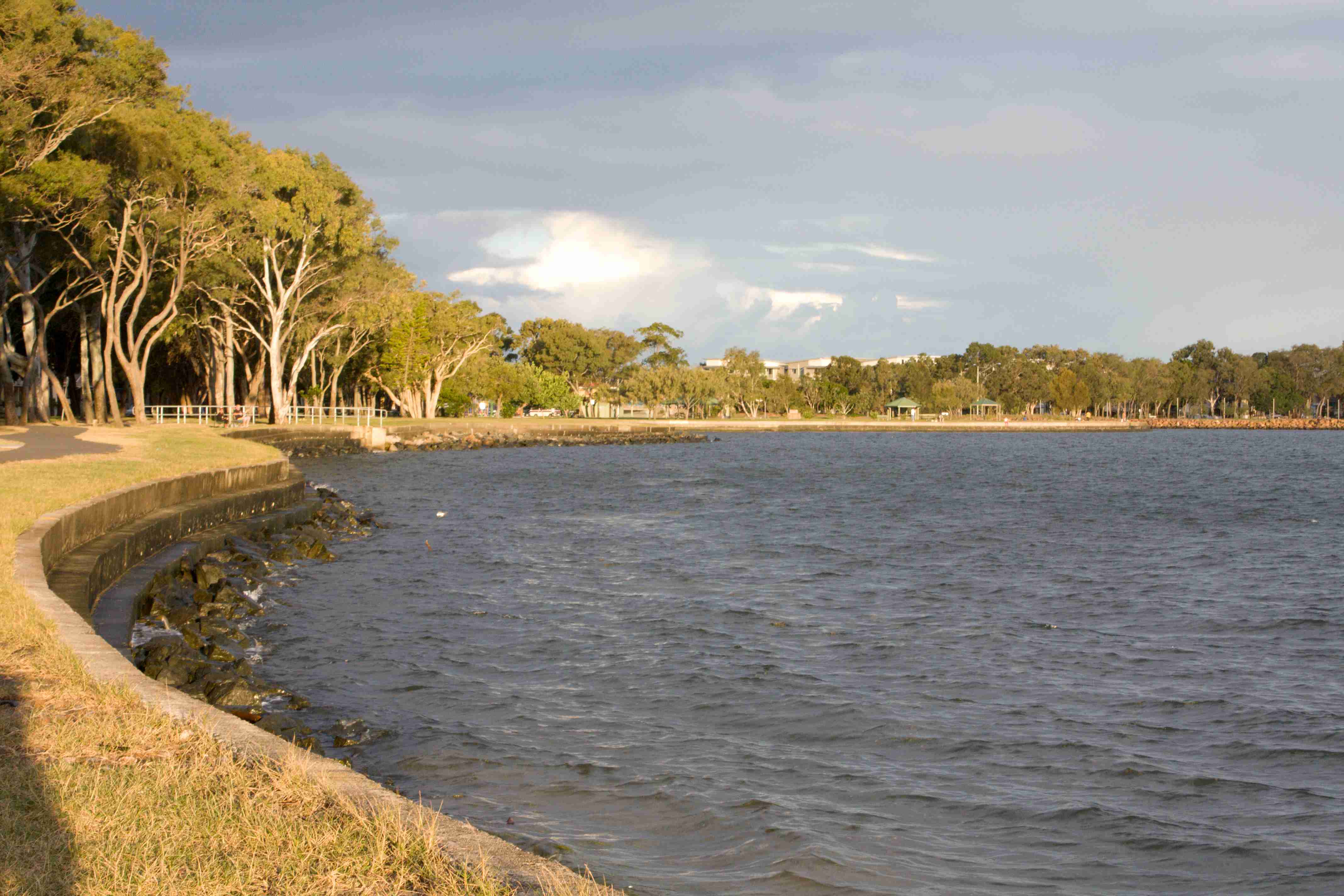
A national park covers the northern 7/8ths of the island. This photo is of the protected waters of Pumicestone Passage named after the volcanic rocks found on the shore by Matthew Flinders. 7km away to the east is surfside. Fishing and 4WD tracks all around the island make it somewhat unique.
From the rear of the Bribie Shopping Centre there is a brilliant cycling/running/walking road that goes to the Pacific Golf Course. I understand it was built for sand mining.
Redcliffe, Qld
The original site for the occupation of Queensland by white Fellas. Moved to Brisbane to get some water.
It’s an interesting place. There's a Bee Gees walkway. Markets every Sunday which are awesome.
This is Moreton Bay. It reminded me that I tasted my first Moreton Bay Bug in Tennant Creek. Redcliffe is lovely to say the least.
Woorim, Qld
Known as surfside. There are waves and long beaches. I liked the contast of timber and steel.
I'm no waves expert but, I enjoyed boogie boarding and body surfing at the beach.
Buckley's Waterhole, Bongaree, Bribie Island, Qld
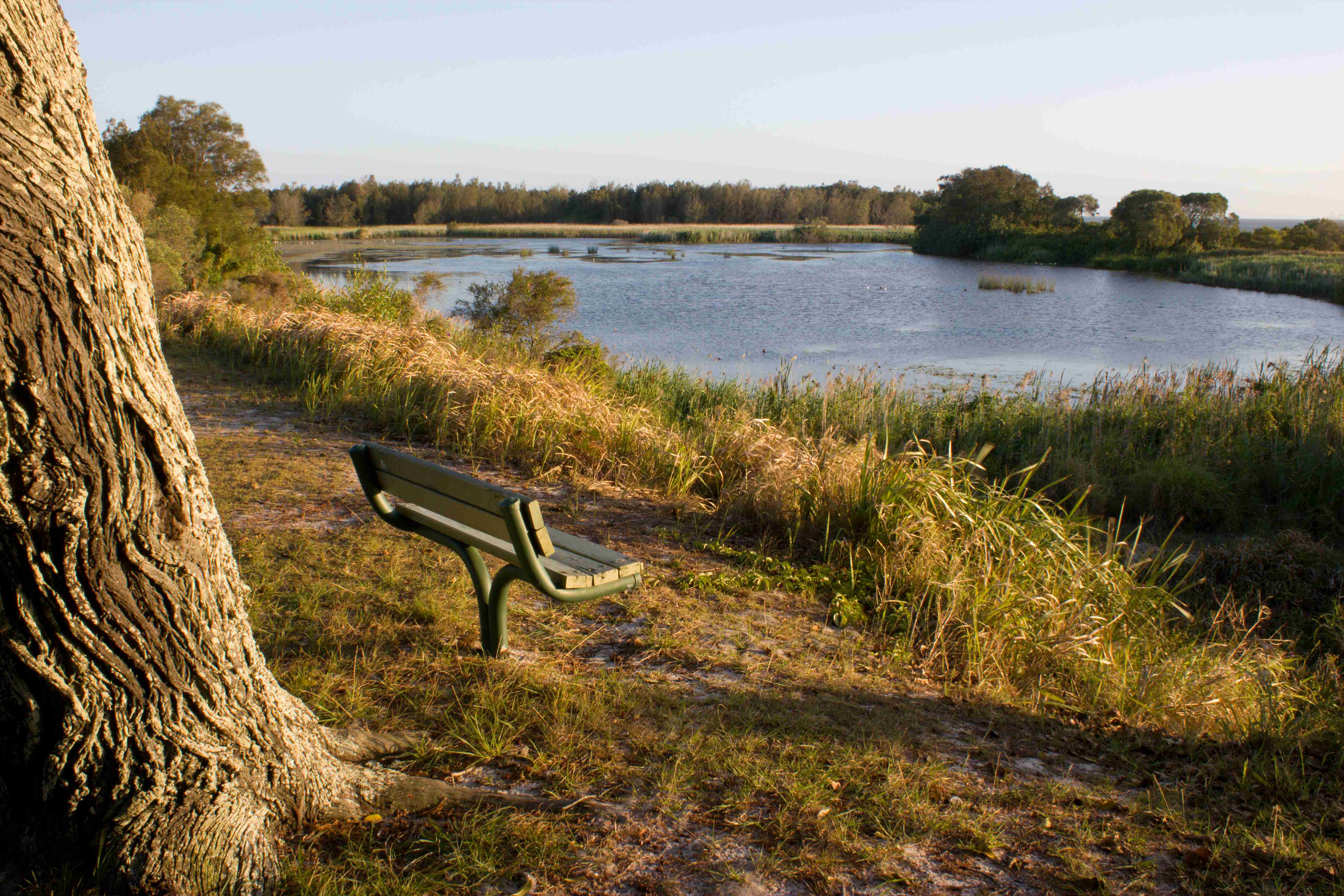
Literally within metres of Moreton Bay open sea water Buckley's Waterhole is freshwater. The 87+ hectares of the conservation park in which it is located is used by globally significant migratory and shore birds.
In all the globe, birds from a gazillion miles away can find a spot 87 hectares in size... What wonders of nature make that happen?
It's a nook to which I enjoyed walking and where I decompressed by navel gazing. Without ever really understanding its importance.
Surf Lifesaving Club, Woorim, Bribie Island
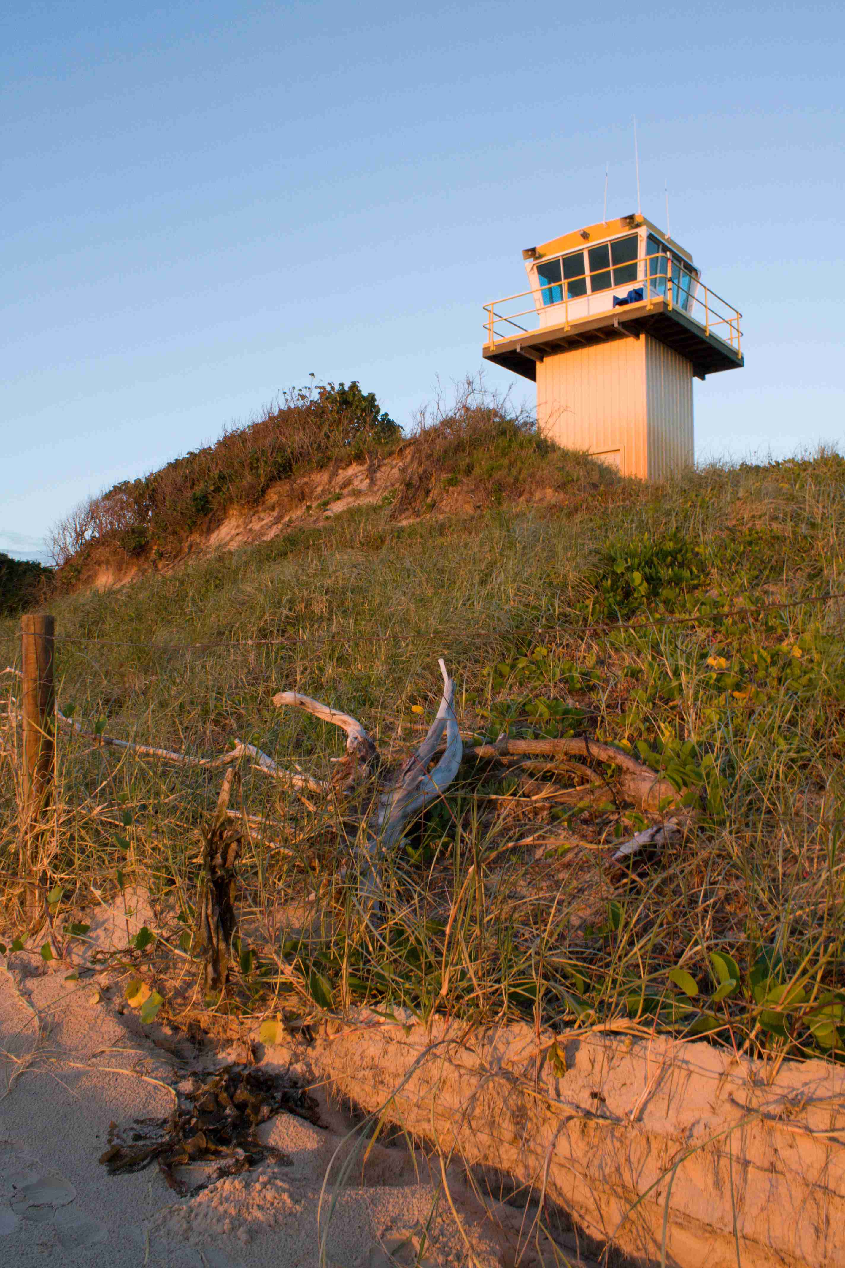
The surf lifesaving club on Bribie Island has awesome food. The east facing deck for Sunday breakfast...
Surf lifesavers provide an incredible service for Australia.
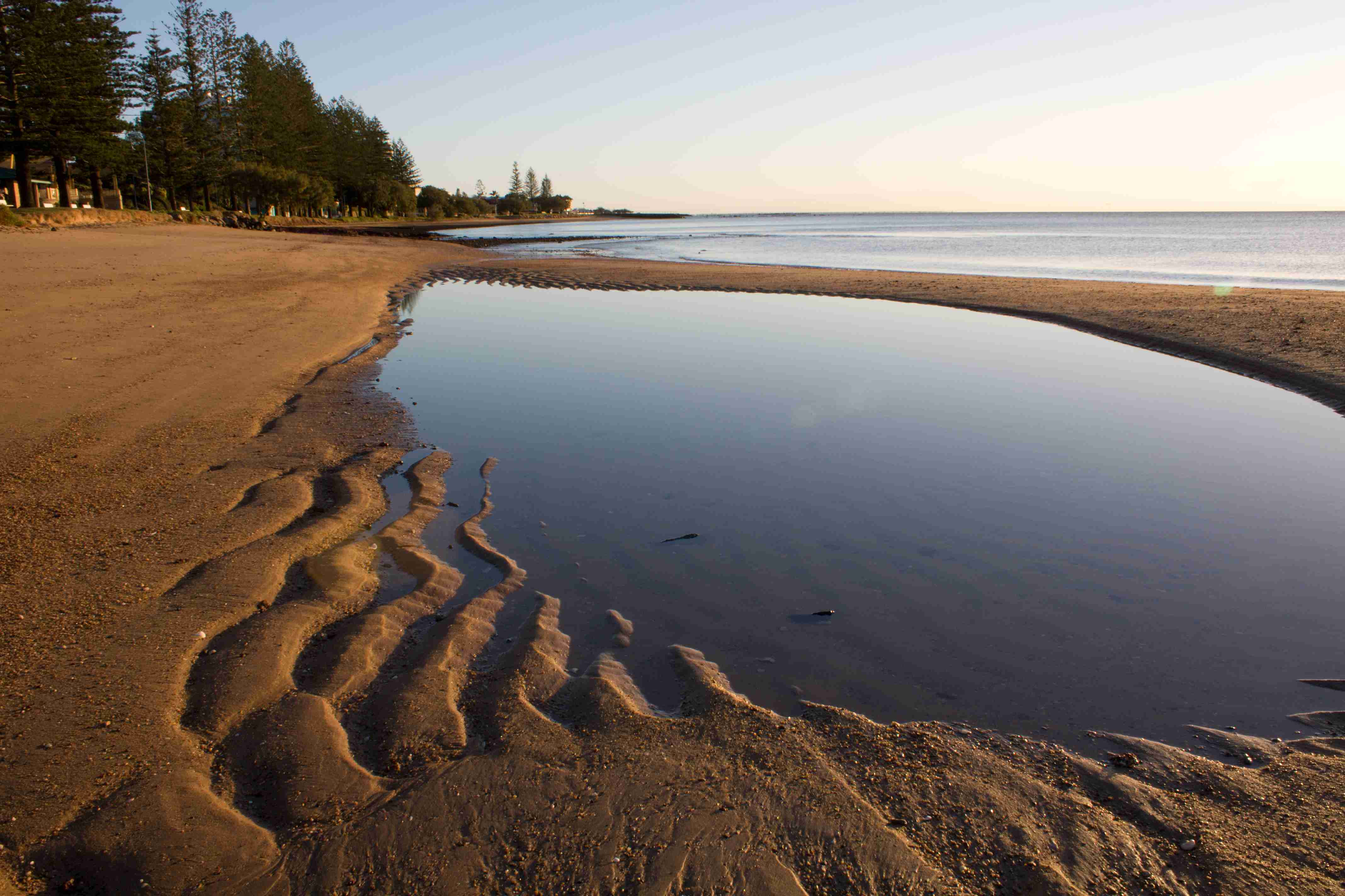
Woorim Beach
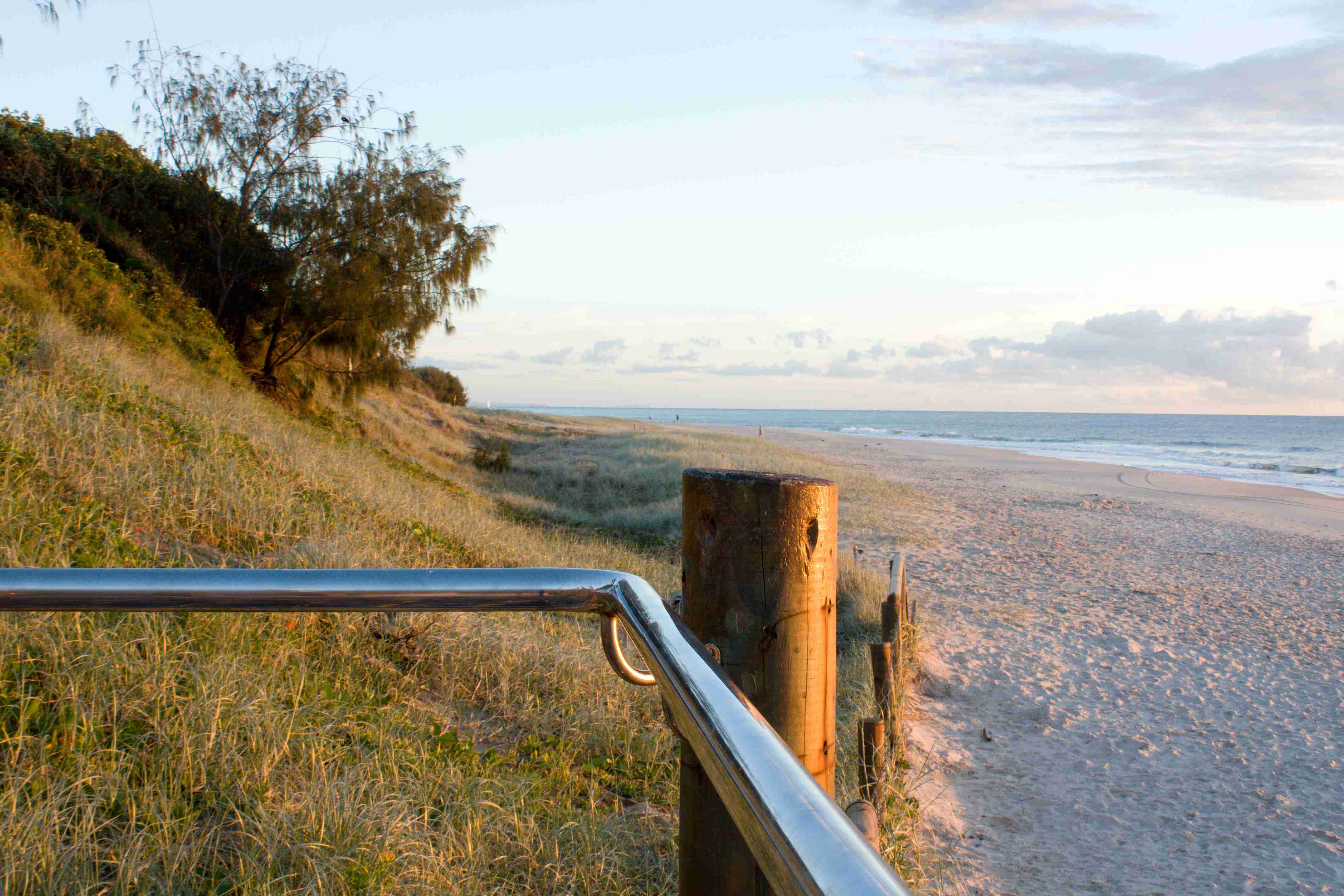
Starting at Woorim, the beach on the eastern side of Bribie Island goes to Caloundra.
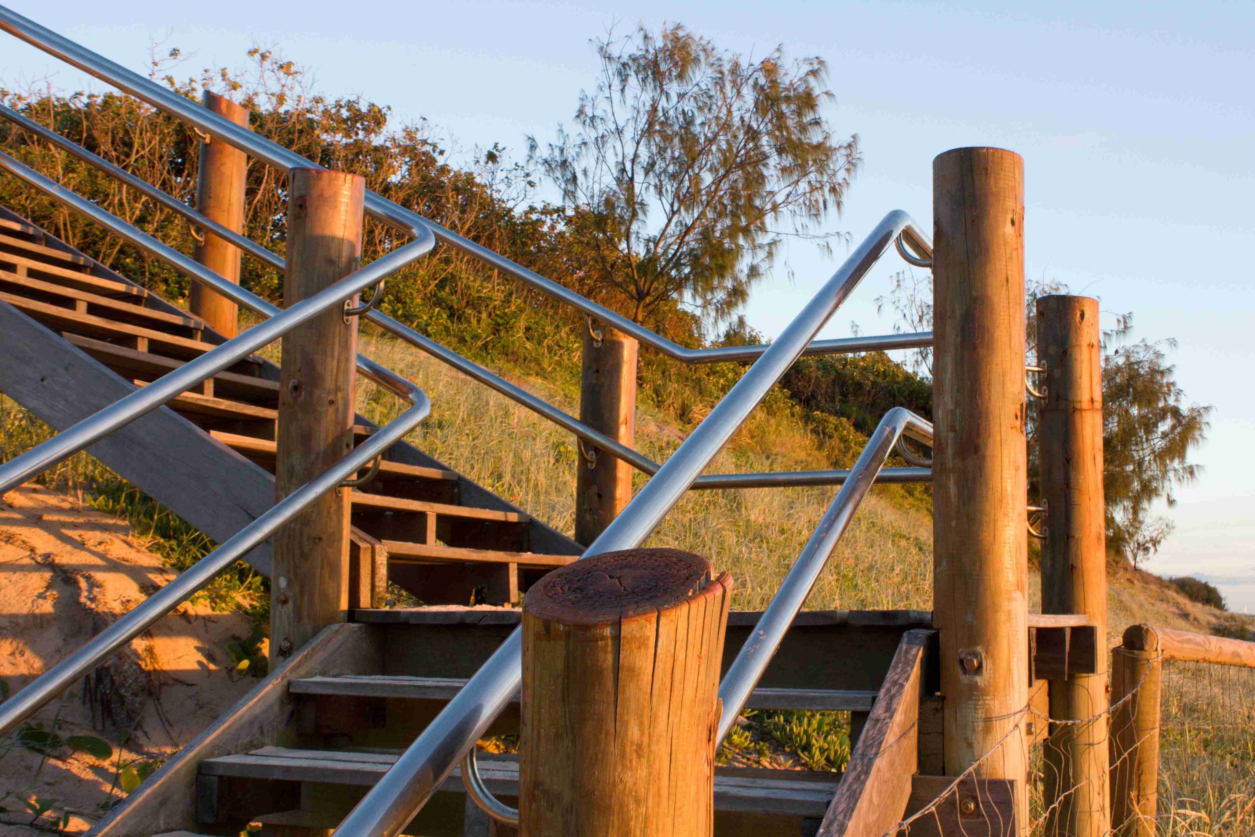
Just around the corner the National Park starts and you can drive to a WWII concrete bunker.
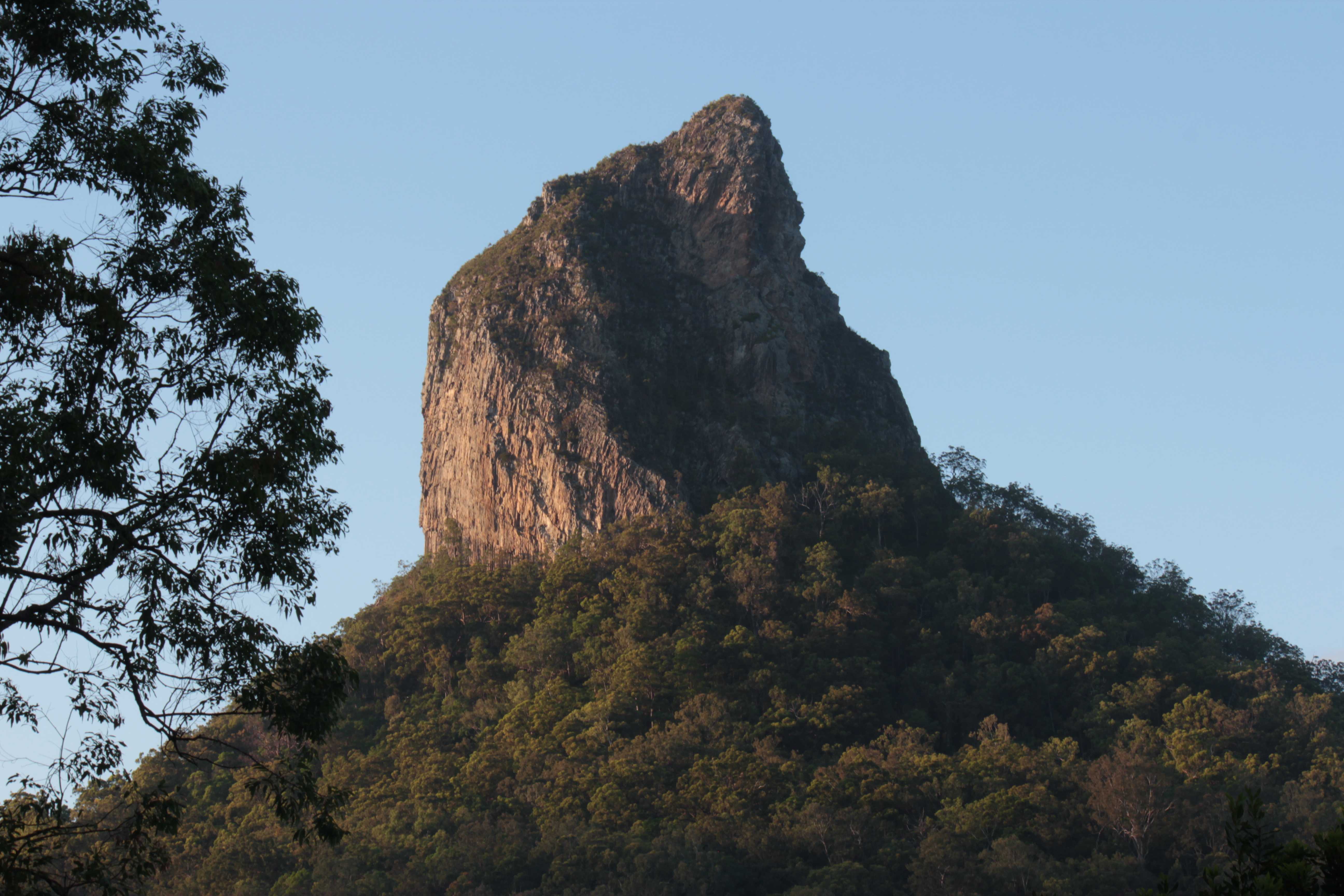
Mt Tibrogargan, Glasshouse Mountains
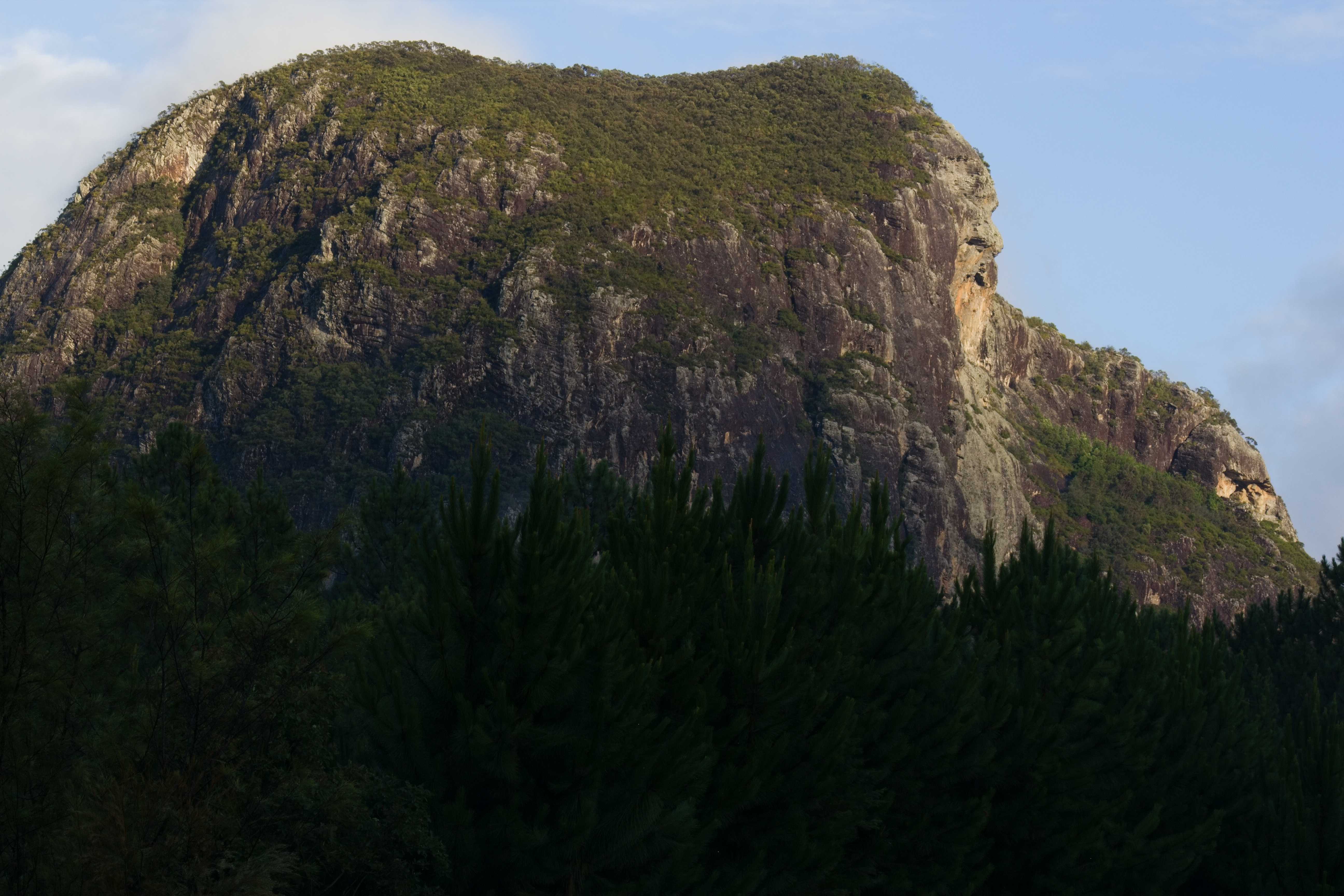
The mountains in that comprise the Glasshouse Mountains are remanants from volcanic activity 20 or so million years ago.
In first nation lore the Glasshouse Mountains are a family. Tibrogargan is the father who faces the ocean and has turned his back on his son, Mt Coonowrin.
Mt Beerwah, Glasshouse Mountains
The Glasshouse Mountains are heritage listed as being significant examples of volcanic substrata.
The first nation story describes the Glasshouse Mountains as a family. Beerwah is the pregnant mother. She is the largest of the mountains.
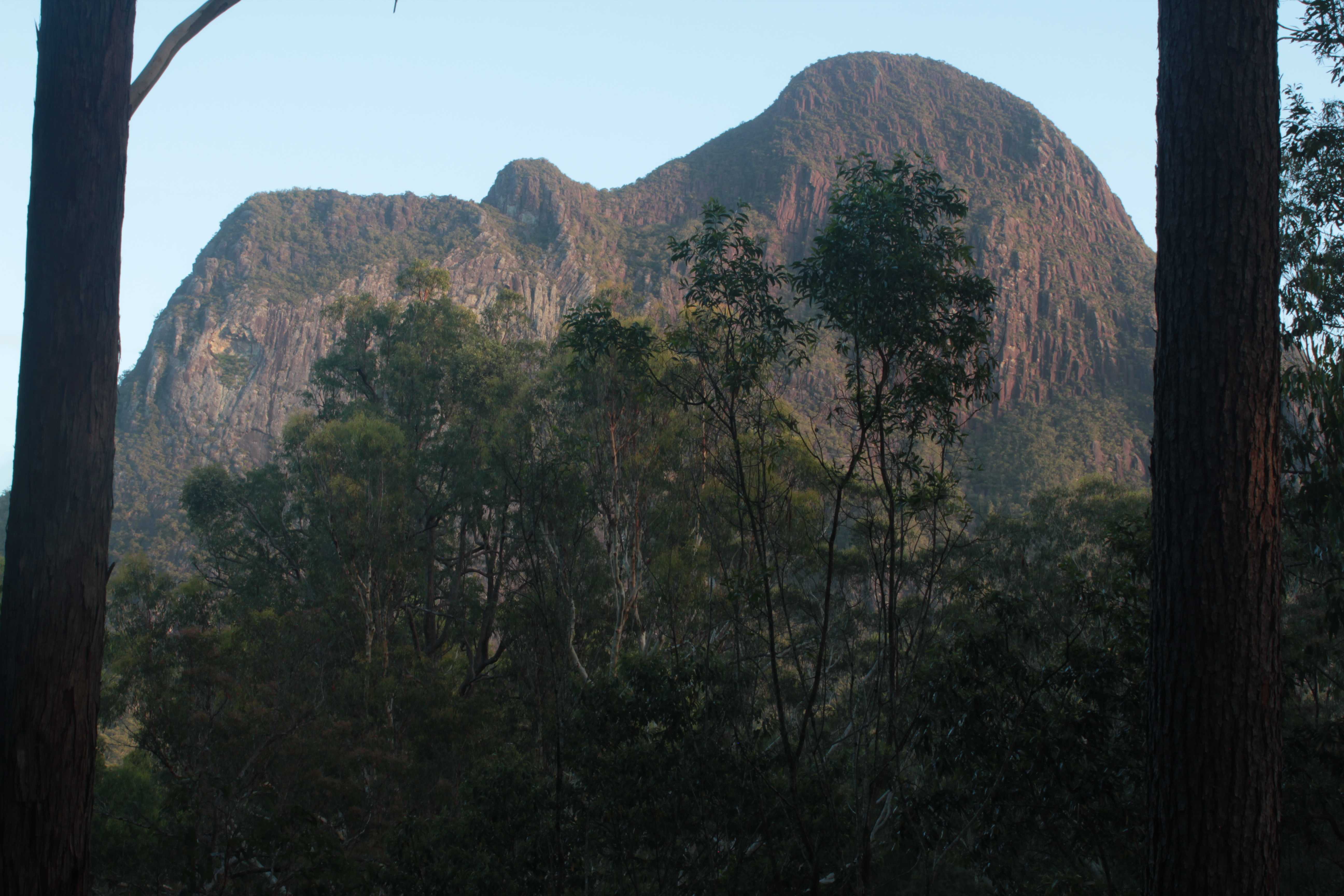
Mt Coonowrin, Glasshouse Mountains
The Glasshouse Mountains are located roughly between 60 and 115kms north of Brisbane.
Round Mountain near Elimbah at the southern end and Mt Coolum and Mt Ninderry in the north are considered the extremeties. The main field is centred to the south of the town of Beerwah.
Coonowrin was the son who, when a violent storm approached the family's home, was asked by his father, Tibrogargan, to take his pregnant mother Beerwah to safety. In fear, he ran off leaving his mother and family behind.
Tibrogargan was very unhappy and when Coonowrin returned he thumped Coonowrin causing his neck to go crooked. Tibrogargan sits with his back to Coonowrin, who in turn looks away from his father in shame.